Full Form of GPS
Full form of GPS
GPS is changing the way we see the world. Since its inventions, it has emerged as a valuable technology and is used everywhere to determine property lines, businesses and track delivery vehicles. Despite all its benefits, most of its users are not aware of its full form.
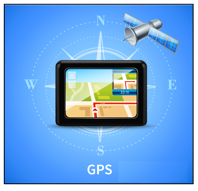
The full form of the abbreviation GPS is Global Positioning System.

What is GPS?
“GPS or Global Positioning System is a navigational satellite system widely used to track an object's ground location and provides the most suitable route from one location to another. Devices that use GPS technology works by receiving signals from special space satellites that orbit the earth.”
GPS is extensively utilized to locate and guide transportations, suggesting the best way from one point to another for transportation companies, airlines, car drivers and courier co-operations. GPS requires a minimum count of 24 space satellites deployed at an altitude of 19,300 miles above the Earth's surface for its working and proper functioning. But the scientists usually use 30 satellites circling the planet to replace them in case anyone satellite fails. In today's technology-driven era, all commercial electronic devices support GPS receivers, unlike mobile phones, smartwatches, cars, automobiles, and GIS devices.
GPS was first developed and introduced by U.S. in the 1960s to support the ships of the U.S. Navy in sailing the oceans more precisely. The users use GPS to discover the precise location, velocity, and time anytime anywhere (with an active internet network) in all weather conditions, worldwide. GPS is developed and controlled by the U.S. Department of Defense and was developed to help soldiers and assist military vehicles. Furthermore, after decades, it was made available to civilians if they own a GPS receiver.
The overviews of GPS are as follows:
| Origin County | United States |
| Operator(s) | US Space Force |
| Type | Military, civilian |
| Status | Operational |
| Coverage | Global |
| Accuracy | 500–30 cm (16–0.98 ft) |
| Total satellites | 33 |
| Satellites in orbit | 31 |
| First launch date | February 1978 |
| Total Launches | 72 |
| Regime(s) | 6x MEO planes |
| Orbital height | 20,180 km (12,540 mi) |
| Technologies Used | Global Nav. Sat. Systems (GNSSs)Global Pos. System (GPS)GLONASS (Russia)BeiDou (BDS) (China)Galileo (Europe)NAVIC (India)Quasi-Zenith Sat. Sys. (QZSS) (Japan)Discrete Global Grid and Geocoding |
| Fundamentals | GeodesyGeodynamicsGeomatics |
Various Parts of GPS
The GPS parts can be divided into three different segments, which are given as follows:
- The segment of space: This segment is also known as satellites. In six orbital planes, approximately 24 space satellites are aligned.
- The control segment: This segment is also known as stations installed on Earth to control and track the GPS space satellites.
- User Segment: This GPS segment is used to facilitate the users to process the navigation signals collected from the GPS satellites to determine the location and time.
Working Principle of GPS
- The GPS network contains a minimum of 24 space satellites present at an altitude of about 19,300 above the Earth’s surface. They orbit around the planet swiftly at a speed of around 11,200 kilometers per hour (once every twelve hours). All the 24 satellites are symmetrically aligned so that four satellites can be seen from Earth with a clear line of sight.
- Each GPS satellite is outfitted with a set of computers, radio and atomic clock. With the information of its orbit and the clock, it uniformly emits the data of its position and time.
- GPS satellites continually transmit signals that deliver two pieces of information, i.e., Current Time and satellite location above the Earth satellite. Commercial devices have inbuilt GPS receivers that utilize this information to perform a specific calculation called triangulation. The receiver compares the satellite time when the signal was sent with the time the signal was received. The variation in time is used to calculate the distance between the satellite and the receiver. The GPS receiver requires taking signals from 3 satellites to measure latitude and longitude, but if it receives a signal from four satellites, it can also help calculate altitude.
- If the receiver is installed with a computer screen and a map, the location can also be displayed on the monitor.
Applications of GPS
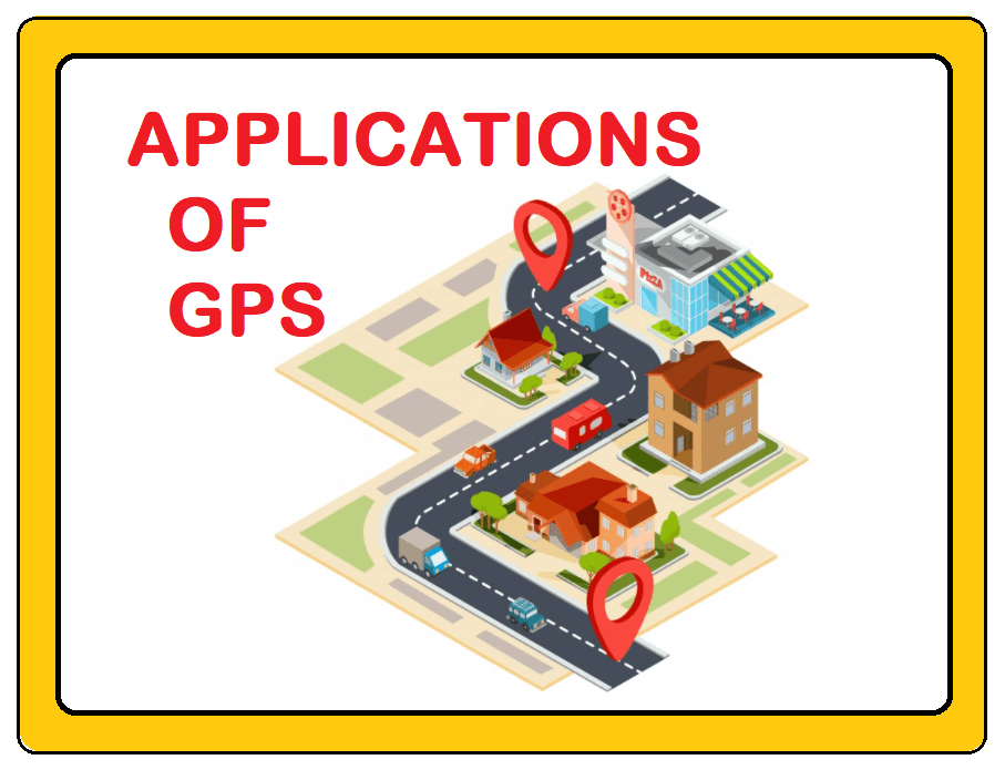
GPS technology is used in commercial devices to render information with precision and accuracy that seemed impossible before. Researchers also use GPS to estimate the arctic ice stint variation, Earth's tectonic plates, and volcanic eruption. The several applications of GPS are as follows:
- GPS provides a precise position and time.
- GPS is widely used to trace the movement of any person or object.
- GPS promotes the conception of World maps.
- GPS has bestowed the universe the concept of precise timing.
- GPS is widely used to track the destination while traveling from one position to another.